
Story highlights
NEW: Tsunami warnings have been lifted for Indonesia; no signs so far of casualties or damage
The earthquake struck 15 miles deep and about 500 miles from Sumatra, Indonesia's largest island
Large earthquakes are relatively common around Indonesia, which is part of the Ring of Fire
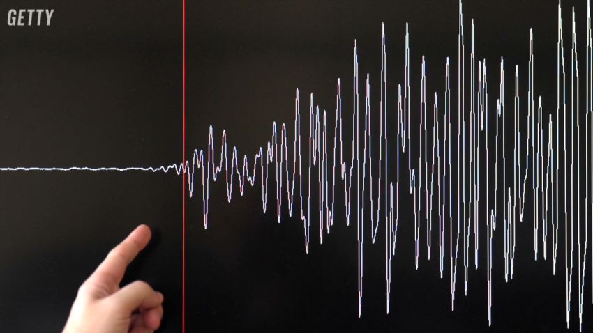
A magnitude-7.8 earthquake struck Wednesday off the coast of Indonesia, another major tremor in an area known for those – though, thankfully, this one didn’t immediately appear to cause widespread death or destruction.
The quake was centered in the Indian Ocean about 410 miles (660 kilometers) southwest of Muara Siberut and roughly 500 miles west-southwest of Padang, which is on the west coast of Sumatra, the Asian archipelago nation’s largest island.
The U.S. Geological Survey indicated the earthquake struck 15 miles deep.
After initially noting a “potential … threat,” the Pacific Tsunami Warning Center, a U.S. government agency, said there had been “no tsunami observed.”
Just in case, Australia’s Bureau of Meteorology issued warnings for Cocos Island, which is about 530 miles south-southeast of the quake’s epicenter, and Christmas Island. A watch once in effect for Australia’s west coast was canceled.
Both Australian warnings noted the possibility of “dangerous rips, waves and strong ocean currents,” as well as localized onshore flooding, for several hours Wednesday night.
Indonesia’s disaster management agency reported that tsunami warning sirens went off after the quake, which was felt in Padang.
Authorities were still trying to contact disaster agencies late Wednesday on Mentawai, which includes Muara Siberut. But there are no reports of casualties or damage, nor have there been signs of possible tsunamis on the islands of Sumatra, West Sumatra, Bengkulu and Lampung.
And all tsunami warnings for Indonesia had been lifted as of 10:50 p.m. (10:50 a.m. ET) Wednesday.
Indonesia in Ring of Fire
Large earthquakes are relatively common in and around Indonesia, which is part of the Ring of Fire, an arc of fault lines circling the Pacific Basin that is prone to frequent earthquakes and volcanic eruptions.
Two earthquakes, one a magnitude 7.1 and the other a 7.0, struck in November 2014.
More recently, on February 12 of this year, a magnitude-6.5 earthquake struck the Indonesian island of Pulau Sumba.
Neither of those did significant damage, though that’s not always the case.
In December 2004, a magnitude-9.1 quake struck off the west coast of Northern Sumatra and the tsunamis it generated killed upwards of 225,000 people in India, Sri Lanka, Indonesia, Thailand, Malaysia, Somalia, Kenya, Tanzania and Bangladesh. That quake, which lasted between 500 and 600 seconds, released an amount of energy equal to a 100-gigaton bomb.
More than 1,300 people were killed three months later following an 8.7 earthquake and subsequent tsunami on the same fault line. Another quake, this one a 6.3, killed some 5,750 people in May 2006, and there have been a number of other deadly incidents since.
CNN’s Kathy Quiano contributed to this report.