


Story highlights
Hundreds of flights for Wednesday are canceled
Washington, Philadelphia and New York could see significant snowfall
Spring has arrived, but the Northeast can’t seem to shake off winter.
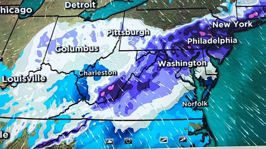
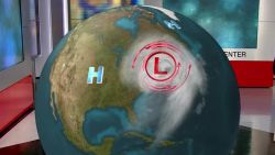
The fourth nor’easter in three weeks will hit the region Wednesday, bringing heavy snow and winds. If the current forecast pans out, this nor’easter will dump more snow on Washington, Philadelphia and New York than the three earlier storms combined.
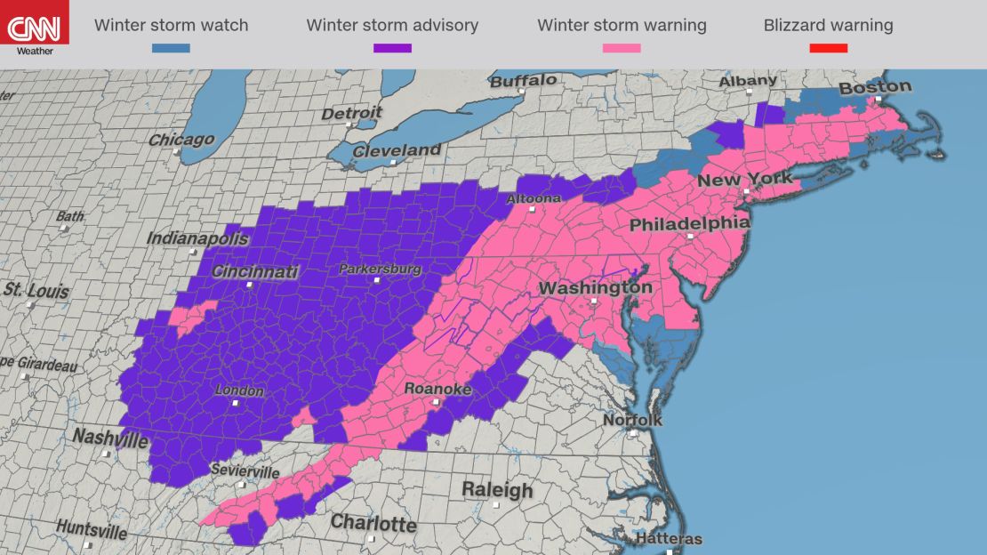
More than 70 million people are under a winter storm watch, warning or advisory from the southern Appalachians to Boston.
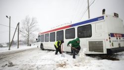
Public schools in New York City, Philadelphia and the District of Columbia are closed Wednesday.
Travel advisories were issued and Amtrak announced modified service. Nearly 2,800 flights Wednesday to and from the New York City area, Philadelphia and Boston have been canceled, according to flight-tracking service FlightAware.
Heavy snow possible for early spring
Northern West Virginia and southern Pennsylvania have already begun to see snow. Greencastle, Pennsylvania, had received 11 inches by late Tuesday. Smith Crossroads in West Virginia was blanketed by 9.2 inches.
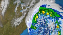
Track the storm with high resolution auto-updating graphics
Washington will first see a wintry mix that will turn to snow Wednesday. The nation’s capital will likely receive 5 to 8 inches of snow, with some models hinting at much higher totals for the district. It all depends on how fast the temperature drops. Just west and north of the city is more likely to see close to a foot of snow.
“It’s been 75 years since Washington has had 5 inches of snowfall or greater this late in the season,” CNN senior meteorologist Brandon Miller says.
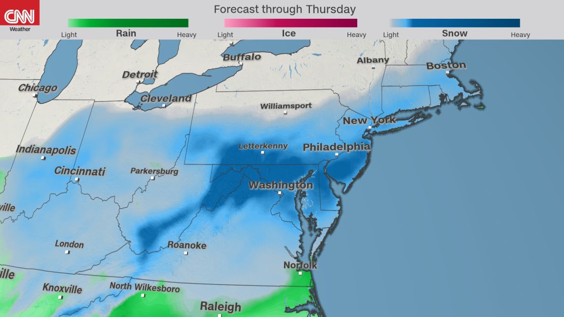
The wintry mix was to arrive late Tuesday in Philadelphia and the surrounding area. It will turn to snow overnight, with 1 to 3 inches per hour by midday Wednesday. The city may get its biggest snowfall after the first day of spring in more than 100 years, with 12 to 16 inches expected.
New York could break 1958 record
In New York City, snow will begin to fall by daybreak Wednesday. Ten inches to over a foot is forecast before the storm departs early Thursday.
“If (New York) gets 12 inches of snow – the National Weather Service currently has a high-end potential of 18 inches – it would be (its) largest snowfall ever recorded after the first day of spring,” Miller says.
The current record is 11.8 inches, set on March 21, 1958.
With these late winter storms, it is difficult to predict snowfall amounts because of the mixing of warmer air. In some of the earlier nor’easters, the air near the ground has stayed warm enough that places like New York have seen lots of snow fall from the sky but had little accumulation. An urban heat island effect is plausible once again with this spring storm.
Boston stayed on the warmer side in the first two nor’easters but then got walloped with snow during the third storm this month. The city is likely to see another 6 to 10 inches of snow, adding to the 20-plus inches it has already received in March.
If Boston does get 10 inches, the city would have its third snowiest March on record.
These late winter storms are likely to become more frequent with climate change. A study last week in the scientific journal Nature Communications ties extreme winter weather, specifically major snowstorms in the Northeast, to warming Arctic temperatures.
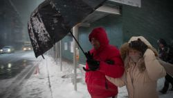
Blizzard conditions likely
With a forecast of heavy snow and winds more than 45 mph, blizzard conditions are possible.
New York City could see sustained winds of 20 to 30 mph Wednesday, and coastal areas such as Cape Cod in Massachusetts are predicted to receive gusts up to 60 mph from midmorning Wednesday to Thursday.
What is makes a snow storm a blizzard
Storm surge will continue to pose a threat to eroding coastlines from this new coastal storm.
Coastal flooding is possible all along the coast from Virginia to Massachusetts through Thursday. Some locations along the Jersey Shore could see tides 2-3 feet above average, putting them above flood stage. This will put a strain on already vulnerable areas along the coastline, which saw dramatic storm surge from the first two nor’easters.
CNN’s Dave Hennen and Michael Guy contributed to this report.