


Editor’s Note: Pulitzer Prize winner Justin Davidson is the architecture and classical music critic for New York magazine. He adapted this essay from his new book, “Magnetic City: A Walking Companion to New York.”
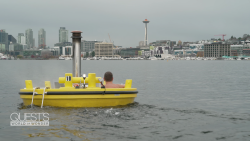
It’s easy to forget as you walk along the hard crust of a midtown Manhattan sidewalk, your view hemmed in by mountainous office towers, that New York City is made mostly of water.
Drift toward the island’s edge, though, where the sun flares on a tranquil, untrafficked expanse, and you see why the city was born and grew up where it did.
If rivers, bays, estuaries and channels counted as city real estate, they would constitute its sixth and largest borough, a vast blue tract at the center of the map, with Manhattan, Brooklyn, Queens, the Bronx and Staten Island relegated to the edges of the archipelago.
The border of that sixth borough runs more than 500 miles, a shoreline more extensive and more varied than those of Seattle, Chicago, Portland and San Francisco combined. It’s not all piers and bulkheads, either. New York’s shoreline has miles of beach, wetlands, gritty industrial stretches and a lengthening necklace of waterfront greenery.
This is a liquid city.
A bustling, working waterfront
For 400 years, these generous, often tranquil waterways carried the material goods that fueled New York’s fantastic growth. Sugar cultivated in the Caribbean was imported in the rough, refined to a pure white sand and shipped back out to plantation tables.
Look out over the Hudson River today, and you see a silvery platter bearing a single kayak. Gaze harder, and you might detect another image ghosted over this one: a fluid highway black with tugboats and barges bellowing through the day and night, a black-and-white shoreline bristling with piers and oil-slicked wharves teeming with dockhands.
From the early 17th century until the 1950s, an overpowering torrent of … stuff. . . rushed into the wooden and brick warehouses of lower Manhattan. “Cross the threshold and climb the stairways from one low-roofed loft to another, and you wander among foreign fields and breathe the airs of every zone,” wrote a reporter from “Harper’s Weekly” in 1877.
“Here are tier upon tier of hogsheads of sugar, perspiring molasses with the memory of the Cuban sun, and other hogsheads of old rum from Jamaica, beneath which the ground is greedily drinking precious oozings. Rows of dusty white barrels of China clay stand alongside rows of barrels of plumbago from Ceylon, whose black dust makes the floor all about as slippery as glass.” The catalog goes on …
That working waterfront started to die in the 1950s, when shipping moved from crowded old city centers to outlying ports with lots immense enough to accommodate stacks of shipping containers. New York ringed its polluted, abandoned coastline with highways and chain link fences.
Wall Street’s foot soldiers hardly ever thought of the fact that they worked a block and a half from the water’s edge: The piers were off limits. Only within the past 25 years has the city rediscovered the waterfront and optimized it for leisure.
Drinking, games and outdoor movies
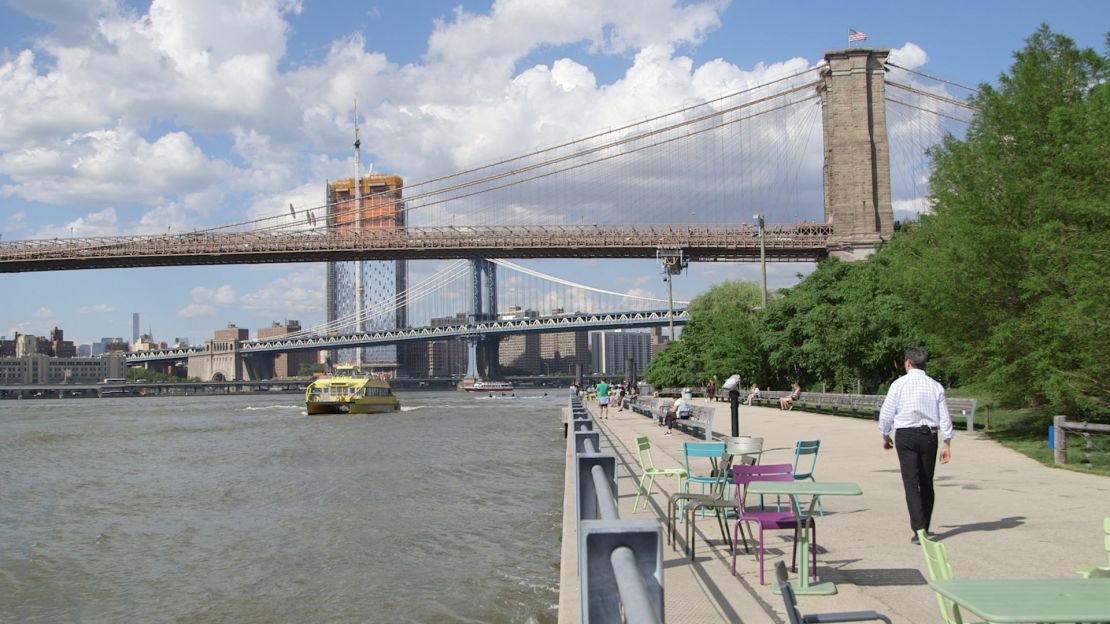
Today, a greenbelt of parks curls along once-begrimed docks, studded with sunbathers from May to September. Fun, it turns out, feels better when it takes place near water. And now the city’s shoreline is lined with places to drink, skateboard, play pétanque, watch outdoor movies and learn aerial trapeze. Goofing off has become serious business.
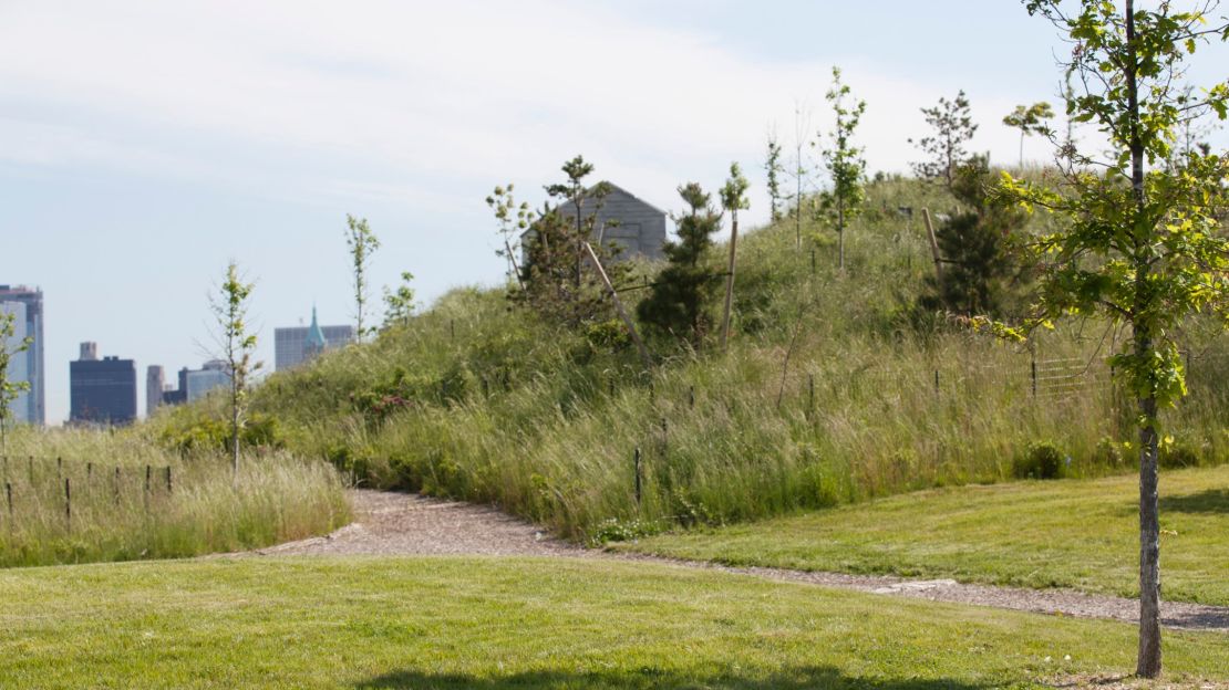
Our tour of the new liquid city begins at the Battery Maritime Building, a lonely symphony in cast iron, steel and Guastavino tiles, from 1909. At the other end of an eight-minute ferry ride, Governors Island is a maritime park unlike any other in the city, crouched low to the water yet close to the open sky.
On any given Sunday in summer, the island has the feel of an urban day camp. Thousands stream off the ferries from Manhattan and Brooklyn and fan out through the ex-military ghost town. Some grab a bike and circumambulate the island. Others picnic, watch glassblowing demonstrations, climb on sculptures, stand in line for jerk chicken, stretch out on hammocks, play miniature golf, explore the old fort of Castle Williams and gaze at the disorienting marvel of the harbor views.
Governors Island has finally rejoined the city that was born there.
The first Dutch arrivals camped on the wooded isle they called Noten Eylandt (Nut Island), and one form or another of the military monopolized it for the next 400 years. When the Coast Guard finally moved out in 1996, leaving a collection of gracious 19th-century brick structures, some slablike barracks from the 1950s and an abandoned Burger King, New Yorkers inherited 172 acres they barely knew existed and had no idea what to do with.
In the ensuing years, a growing stream of visitors came to love the island’s gracious but pleasantly derelict air, reminiscent of a spa resort past its prime or a boomtown once the silver dried up.
A food tour of Arthur Avenue, the Bronx’s Little Italy
Observing how people really move
After a decade as a blank slate on which futurists and fantasists projected oversize desires—a replica of the Globe Theatre! A SpongeBob SquarePants hotel! A gondola to Manhattan! An offshore campus for New York University! Another Trumpville!—the backhoes finally got down to business, shoring up seawalls, running pipes and cable, re-roofing historic buildings and most dramatically, shaping a new landscape.
The Dutch firm West 8 spent years observing the summertime crowds and their habits of leisure. Then the architects plowed that knowledge into an ambitious and spectacular but also freewheeling and improvisational landscape design.
Back on the island of Manhattan, we can pause here and there at the city’s old edge, now blurred by centuries’ worth of landfill.
The corner of Pearl and Broad Streets is where the Dutch merchant sailors first hoisted crates onto their solitary East River pier and Peter Stuyvesant built his great White House – America’s first. It’s nothing much to look at now: a slightly claustrophobic intersection, presided over by Fraunces Tavern, the 18th-century hostelry built on a soggy “water lot.”
It was already an ancient establishment in 1783, when George Washington went there to celebrate while the last British troops fled.
In the early 19th century, the long-vanished Tontine Coffee House, at the corner of Pearl and Wall Streets, functioned like Times Square, the Stock Exchange and Rockefeller Center rolled into one gracious neoclassical building. Everyone with a buck to spend or the craving to make one converged on the Tontine’s modest porch. It was where merchants traded cotton, influence and news. And where, in a trade that New Yorkers often prefer to forget, they also bought and sold human beings.
8 of New York City’s best rooftop bars
Playing on the piers
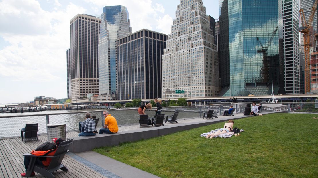
Pier 15, near the South Street Seaport, now houses an elevated platform that allows a wraparound panorama of nearly every phase of the city’s growth.
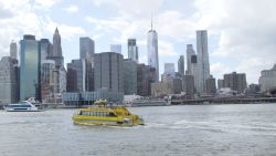
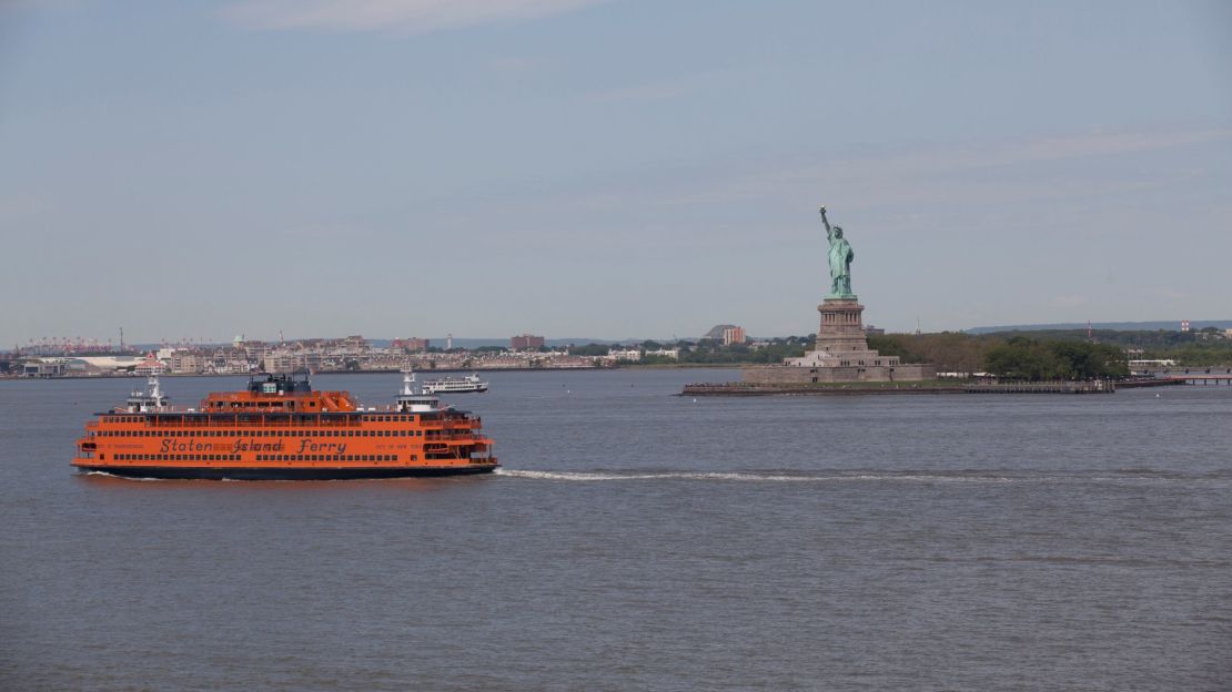
Pier 11, at the end of Wall Street, serves the Brooklyn ferries, which are gradually crawling back from extinction. Travel by water proved its worth on September 11, 2001, when boats of all kinds helped evacuate the stranded, and again in the aftermath, when the PATH train connecting Lower Manhattan to New Jersey was knocked out of service for a while.
Now new waves of high-rise development along the Queens and Brooklyn waterfront—and the woes of an ancient subway system—are helping to revive the river commute. The city recently bought a small fleet of ferries and inaugurated two new NYC Ferry lines.
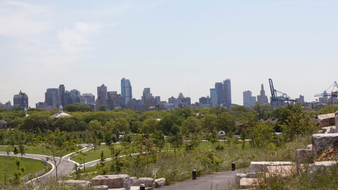
The ferry’s first stop is Brooklyn Bridge Park, which even unfinished is already jammed with kids and adults. Though the young greenery still has a fragile, uncertain look, every basketball court is in use, every lawn dotted with people soaking up the sun.
This luxuriant chip of parkland at the edge of Brooklyn clearly draws visitors from well beyond its fringe of affluent streets.
The borough’s various ethnic and religious populations appear to have worked out a tacit time-share arrangement. On a midweek afternoon in summer, kids teem like minnows in the water park and avoid the scalding slides, while their minders (wearing chadors or sheitels, depending on the day and hour) huddle in the scarce shade. The sun-strafed picnic tables are full, the coastline hazed in the smoke from grilling meat.
The value of these waterfront refuges
Today, as urban land becomes ever more rare and precious, the value of outdoor refuges has risen, too. More than half the world’s population lives in exploding megalopolises. Superstar cities like New York, London, Seoul and Tokyo are growing, too.
And every member of those burgeoning millions craves a bit of friendly turf. These gilded cities have entered a new idyll of urban parks, made possible by a legacy of ugliness. Every city has its polluted waterfronts, abandoned train tracks, decommissioned military installations or redundant highways—a whole smorgasbord of wastelands to be revived into verdant zones of leisure.
Greenery has sprung up in areas that once lay dank and useless, creating not just zones of leisure but buffers that can absorb storm surges and help cope with the effects of climate change.
Cities like New York rush toward the embrace of rising waters, confident that an ancient, if troubled love affair isn’t over yet.