

Two earthquakes struck Wednesday morning in eastern Tennessee, rattling people awake across several Southeastern states.
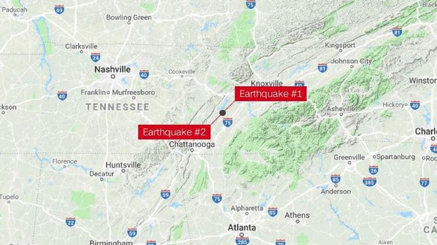
The first one, a preliminary 4.4-magnitude earthquake, occurred at 4:14 a.m. local time. It was the second strongest quake on record in east Tennessee, the local National Weather Service office tweeted, citing the United States Geological Survey, or USGS.
A preliminary 3.3-magnitude quake took place shortly after at 4:27 a.m. local time, the USGS reported.
The temblors hit near Decatur, Tennessee, the agency said.
The earthquakes were felt hundreds of miles away, including in Atlanta, and in the surrounding states of Alabama, Kentucky and the Carolinas.
Residents near the center of the quakes saw photo frames and other items falling over, the Meigs County Sheriff’s Department said.
There were no immediate reports of major damage.
The area is part of the Eastern Tennessee Seismic Zone, stretching from northeastern Alabama to southwestern Virginia. It’s the second-most active seismic zone in the central and eastern US, behind the New Madrid zone in the Mississippi River region, according to the Seismological Society of America.
Wednesday’s 4.4-magnitude quake is the strongest of 799 recorded in the central US in the last six months, according to a list compiled by the University of Memphis’ Center for Earthquake Research and Information.