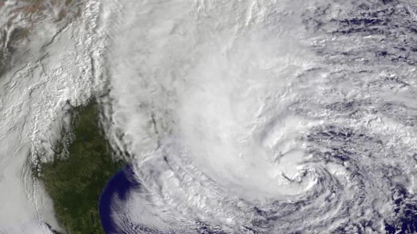
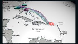
Tropical Storm Fay formed off the North Carolina coast with 45 mph winds and is moving north on Thursday afternoon. It is forecast to strengthen through Friday as it tracks up the East Coast toward New York.
Fay is the earliest tropical storm that begins with an “F” on record. The previous record was set on July 21, 2005.
The storm is located about 40 miles east-northeast of Cape Hatteras, North Carolina. Fay will move up the Eastern Seaboard over the next 24 to 48 hours, likely making landfall between New Jersey and Long Island late Friday.
“We’ve been watching the center of this system move across Georgia and the Carolinas for a few days now,” CNN meteorologist Taylor Ward says. “As the center moves offshore of North Carolina and hugs the coast, it will be able to tap into the warm waters of the Gulf Stream and could strengthen slightly.”
“A Tropical Storm Warning has been issued from Cape May, New Jersey northward to Watch Hill, Rhode Island, including Long Island and Long Island Sound,” the National Hurricane Center said.
The warning means that tropical storm conditions are expected somewhere within the warning area within 36 hours.
Forecast models show Fay moving inland over the northeast United States on Saturday.
Once the storm moves over land, it should weaken quickly.
“Fay is expected to produce 3 to 5 inches of rain along and near the track of Fay across the mid-Atlantic states into southeast New York and southern New England,” the National Hurricane Center said.
Other impacts include winds of 40-50 mph along the coast, coastal flooding and beach erosion.
“Residents along the mid-Atlantic and Northeast coasts should expect conditions similar to a Nor’easter,” according to Ward. “Bands of rain and gusty winds will bring the potential for coastal flooding, beach erosion and rip currents from Thursday to Saturday.”


