
Four days in a row of severe storms and extreme rain across Louisiana have elevated flooding concerns.
“Ever seen the movie groundhog day,” tweeted the National Weather Service (NWS) in New Orleans.
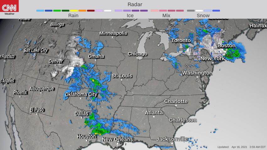
Louisianians woke up to thunderstorms almost every day this week.
The National Weather Service started issuing thunderstorms and flooding watches on Monday, the office said. The rain began early Tuesday, more rain fell Wednesday and even higher amounts Thursday.
Check when more rain will fall
“Yesterday, we had tremendous amounts of rain over the area and more is coming today,” Kevin Gilmore, a Meteorologist with the NWS in New Orleans tells CNN.
There is a moderate risk, level 3 of 4, of excessive rainfall Friday into Friday night across portions of Louisiana.
A flash flood watch – meaning flash flooding is possible – is in effect through Saturday morning. The NWS is also considering extending it through the weekend. The watch affects over 5 million people.
Tuesday was the first day that a complex of thunderstorms rolled through the region, which led to conditions similar to a tropical storm, bringing down trees and flooding roads. Sadly, it also led to a boat capsizing off the coast, where six people were rescued, one body recovered and 12 are still missing.
“Widespread rainfall totals of 5 to 8 inches fell across the region over the last three days,” CNN meteorologist Haley Brink says.
Places like New Orleans have recorded more rain in the past few days than they typically see in April.
“New Orleans averages 4.92 inches of rain for the month of April and has seen 6.15 inches of rain at the airport the last three days,” Brink says.
This total does not include any rain that has or will fall today, she adds.
The NWS forecasts an additional 1 to 3 inches of rain through Monday morning.
“This is a lot more rain than we are used to, but this isn’t a record-breaking amount,” Gilmore says.
Thankfully, there haven’t been any flash flood emergencies, but there has been a lot of nuisance flooding, he adds.
“The feed on our social media account has shown us that people are sick and tired of it,” says Gilmore.
When rain falls on the already saturated ground, it is easier for the new rain to cause flooding.
With the latest forecast showing the stalled frontal boundary lingering through the weekend, it looks like local social media will stay angry with Mother Nature at least until Monday.
By next week, northern and central Florida will be the focus of most of the rain across the South where 3 to 5 inches is forecast through Wednesday.
Monica Garrett and Chad Myers contributed to this story